Walking from Long Sơn Pagoda to Yersin Museum

in Nha Trang Beach, Vietnam

2.25 km
30 minutes walking
AB
Long Sơn Pagoda
ALong Sơn PagodaWikidata ↗
Yersin Museum
BYersin MuseumWikidata ↗

Standing at Long Sơn Pagoda, the air is thick with the scent of incense, and the distant sound of chanting fills your ears. You can see the impressive white statue of Buddha seated atop a hill, overseeing the city below. The lush greenery surrounding the pagoda contrasts with the vibrant colors of the flowers in bloom. As you take a deep breath, you feel a slight breeze that carries hints of salt from the nearby sea.

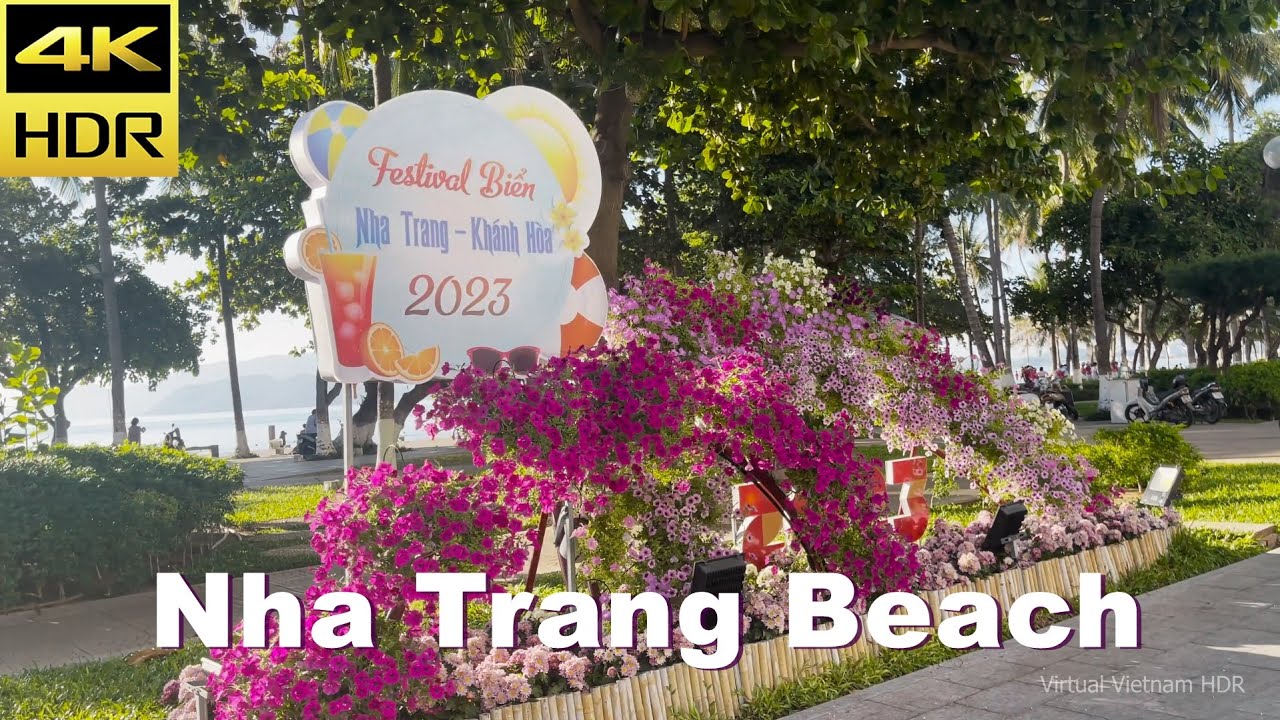
As you start your walk, you’ll head down the winding path of Thich Quang Duc Street, where the terrain shifts from the elevated pagoda to the flat streets of Nha Trang. The sounds of scooters whizzing by become more pronounced, mixing with the chatter of locals at roadside cafés. You’ll pass by the bustling Tran Phu Street, where the atmosphere is lively with street vendors selling fresh fruits and local snacks. The light changes as you approach the coastline, and the salty sea air invigorates your senses, making you feel alive.

Keep an eye out for uneven cobblestones, especially near the pagoda's entrance and along the beachfront roads. Traffic can be chaotic, so be cautious when crossing streets, as scooters often weave through the lanes. While language barriers might pop up, most locals are friendly and eager to help. Remember to keep your belongings close, as pickpockets can be an issue in busier areas.

Wear comfortable walking shoes as the route involves some uneven surfaces, and bring a bottle of water, especially if you're walking during the midday heat. If you're out early in the morning or later in the afternoon, you'll enjoy a more pleasant temperature. Don't forget a hat or sunscreen for sun protection, as the UV rays can be strong along the coast.

The best moment of this walk happens just as the sun begins to set. When you reach the Yersin Museum, the golden hour casts a warm glow over the building, and the soft sounds of waves crashing in the distance create a serene backdrop. You can almost taste the salt in the air as the colors of the sky shift, wrapping the day up in a beautiful embrace.

Turn-by-turn directions

15 steps · pace ~4.5 km/h
  1. Set off
    17 m
    14 s
  2. Hang a right
    99 m
    1 min
    0.12 / 2.25 km · 5%
  3. Turn left at the end of the road
    194 m
    3 min
    0.31 / 2.25 km · 14%
  4. Turn left onto 23 Tháng 10
    86 m
    1 min
    0.40 / 2.25 km · 18%
  5. Take a slight left onto Vòng xoay Mả Vòng
    38 m
    30 s
    0.43 / 2.25 km · 19%
  6. 💧First quarter done. If it's hot, a sip of water now beats a gulp later.
  7. Take a left onto Yersin
    188 m
    3 min
    0.62 / 2.25 km · 28%
  8. Hang a left onto Trần Đường
    23 m
    19 s
    0.65 / 2.25 km · 29%
  9. 🏁Halfway. Good moment to refill water or grab a quick coffee if you see one.
  10. Turn right onto Hoàng Văn Thụ
    Long stretch ahead - photo break, phone check, or just look around.
    1.08 km
    14 min
    1.73 / 2.25 km · 77%
  11. Turn slight right onto Lê Lợi
    99 m
    1 min
    1.83 / 2.25 km · 81%
  12. Hang a right onto Lê Lợi
    136 m
    2 min
    1.96 / 2.25 km · 87%
  13. 📍Almost there. Look up - you should be able to spot the destination soon.
  14. Hang a right onto Lê Lợi
    72 m
    58 s
    2.04 / 2.25 km · 90%
  15. Hang a right
    31 m
    24 s
    2.07 / 2.25 km · 92%
  16. Take a right onto Trần Phú
    151 m
    2 min
    2.22 / 2.25 km · 99%
  17. Take a left
    Final stretch. Slow down so you don't walk past the entrance.
    35 m
    28 s
    2.25 / 2.25 km · 100%
  18. 🏁
    Arrive at destination

Local-script names show how they're signposted. The ≈ line shows a rough Latin transliteration to help with pronunciation. Times assume a steady ~5 km/h walk; add 15-20% in summer heat, on hills, or in crowds.

Open in the planner Customise this route or add more stops →
See Nha Trang Beach street previews

Watch Nha Trang Beach streets before you walk

Ambient first-person walking videos of Nha Trang Beach. Same streets, real sound. Pick a season or time-of-day to preview the route.

Watch Nha Trang Beach during the day
day · during the day
Watch Nha Trang Beach during the day
Watch Nha Trang Beach at night
night · at night
Watch Nha Trang Beach at night

Other walking routes in Nha Trang Beach

Share this route

WhatsAppTelegramFacebookXRedditLinkedInEmail

Frequently asked questions

How long does it take to walk from Long Sơn Pagoda to Yersin Museum?

About 30 minutes at a steady 4.5 km/h walking pace. Add 15-20% in summer heat, on hills, or if you stop for photos.

How far is Long Sơn Pagoda from Yersin Museum on foot?

The walking route is 2.25 km following pedestrian paths. The straight-line distance is shorter but ignores buildings and one-way streets.

Is this walk suitable for casual walkers?

This 2.25 km route is an moderate walk - manageable for most people in normal shoes. The pedestrian path uses footpaths and side streets where possible, so it's safer than walking along main roads.

What streets does the route pass through?

The route in Nha Trang Beach passes through 23 Tháng 10, Vòng xoay Mả Vòng, Yersin, Trần Đường and others. Street names are signposted in the local language.

What's the best time of day to walk this route?

For the best atmosphere on this stretch of Nha Trang Beach, the day walking video gives the most accurate preview of light and crowds. In general, early morning or sunset minimises midday heat and gives softer light for photos.

Is the walking route free?

Yes - planning, viewing the route, and using our directions are all free. Watch out for paid entry to any specific landmark on the route (museums, archaeological sites) - those are separate from the walk itself.

Can I reverse the route and walk from Yersin Museum back to Long Sơn Pagoda?

Yes - the same path works in reverse with the same distance and walking time. Some one-way streets only affect drivers, not pedestrians.

Walking pace assumed at about 5 km/h on level ground - hills, crowds, and stops will slow you down.

Walking-route geometry from OpenStreetMap contributors via FOSSGIS OSRM (data licensed under ODbL). Landmark data from Wikidata (CC0).