Walking from Long Sơn Pagoda to Xom Bong Bridge

in Nha Trang Beach, Vietnam

3.07 km
41 minutes walking
AB
Long Sơn Pagoda
ALong Sơn PagodaWikidata ↗
Xom Bong Bridge
BXom Bong BridgeWikidata ↗

Standing at Long Sơn Pagoda, you’re greeted by the serene sound of wind rustling through the palm trees and the faint scent of incense wafting from the temple. The towering white Buddha statue watches over the city, and the intricate details of the pagoda’s architecture draw your gaze. The air is warm, hinting at the tropical climate, as locals and tourists alike move about with a calm rhythm.

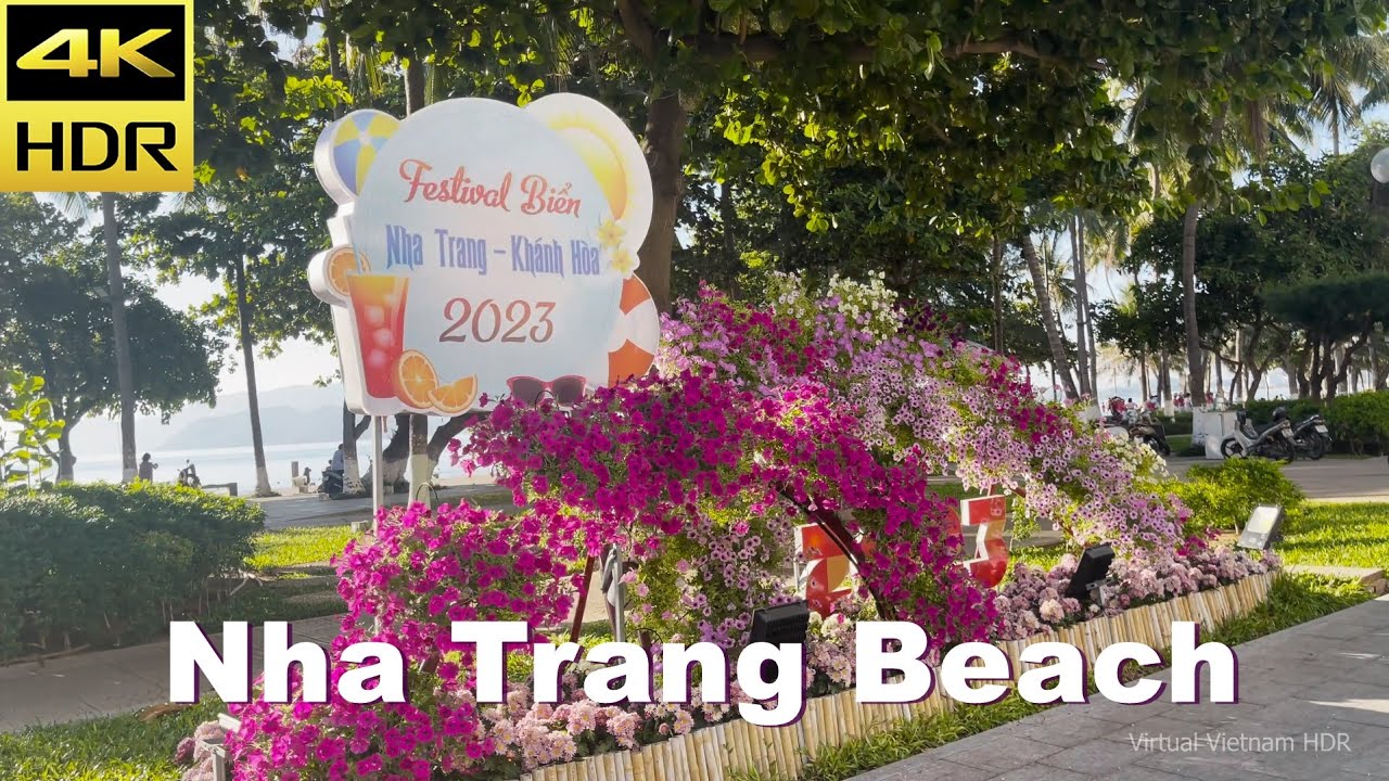
As you step onto Nguyen Tri Phuong Street, the atmosphere shifts slightly; the hum of scooters fills the air, and the scent of street food wafts from nearby stalls. You’ll notice the terrain flattens, making your walk easier as you pass through neighborhoods lined with small shops and cafes. Continuing down to Tran Phu Boulevard, the ocean comes into view, glimmering in the sunlight, and you might catch the laughter of children playing at the beach. The light changes too, with the sun casting long shadows as you approach the water.

Keep an eye out for the uneven cobblestones along some parts of the route, especially near the pagoda. Traffic can be hectic, so be cautious when crossing streets. It’s wise to keep your belongings secure, as pickpockets can be a concern in busier areas. If you're planning your walk around lunchtime, some cafes may close briefly, so check the hours if you’re hoping to stop for a drink.

Wear comfortable shoes, as the uneven surfaces can be tricky. Bringing water is essential, especially in the heat, and don’t forget sunscreen or a hat for midday sun. If it’s the rainy season, a light rain jacket could come in handy too. Early morning or late afternoon is ideal for this walk; you’ll avoid the worst of the sun while enjoying the cooler breeze from the sea.

The best moment on this walk happens as you reach Xom Bong Bridge during golden hour. The sun begins to dip low, casting a warm glow over the water, and the sounds of the city fade into a gentle lull. The salty air mingles with the scent of nearby food stalls, creating a perfect blend of flavors and experiences that linger even as you move on.

Turn-by-turn directions

32 steps · pace ~4.5 km/h
  1. Set off
    17 m
    14 s
  2. Hang a right
    99 m
    1 min
    0.12 / 3.07 km · 4%
  3. Turn left at the end of the road
    194 m
    3 min
    0.31 / 3.07 km · 10%
  4. Turn left onto 23 Tháng 10
    86 m
    1 min
    0.40 / 3.07 km · 13%
  5. Take a slight left onto Vòng xoay Mả Vòng
    38 m
    30 s
    0.43 / 3.07 km · 14%
  6. Take a left onto Yersin
    138 m
    2 min
    0.57 / 3.07 km · 19%
  7. Take a left onto Đường Võ Văn Ký
    17 m
    14 s
    0.59 / 3.07 km · 19%
  8. Hang a right
    33 m
    26 s
    0.62 / 3.07 km · 20%
  9. Take a left
    48 m
    38 s
    0.67 / 3.07 km · 22%
  10. Hang a left onto Trần Đường
    52 m
    42 s
    0.72 / 3.07 km · 24%
  11. Turn right onto Thống Nhất at the end of the road
    21 m
    17 s
    0.74 / 3.07 km · 24%
  12. 💧First quarter done. If it's hot, a sip of water now beats a gulp later.
  13. Carry straight onto Trần Quý Cáp
    69 m
    55 s
    0.81 / 3.07 km · 26%
  14. Take a left
    65 m
    52 s
    0.88 / 3.07 km · 29%
  15. Hang a right
    39 m
    31 s
    0.92 / 3.07 km · 30%
  16. Carry straight
    123 m
    2 min
    1.04 / 3.07 km · 34%
  17. Turn left onto Phan Đình Giót
    27 m
    22 s
    1.07 / 3.07 km · 35%
  18. Hang a right
    129 m
    2 min
    1.20 / 3.07 km · 39%
  19. Hang a right
    74 m
    59 s
    1.27 / 3.07 km · 41%
  20. Take a left
    68 m
    54 s
    1.34 / 3.07 km · 44%
  21. 🏁Halfway. Good moment to refill water or grab a quick coffee if you see one.
  22. Turn left onto Hà Thanh
    277 m
    4 min
    1.61 / 3.07 km · 53%
  23. Hang a slight left
    94 m
    1 min
    1.71 / 3.07 km · 56%
  24. Hang a sharp right
    Tight corner - watch for cyclists cutting it close.
    54 m
    43 s
    1.76 / 3.07 km · 57%
  25. Take a left
    53 m
    43 s
    1.81 / 3.07 km · 59%
  26. Hang a right
    55 m
    44 s
    1.87 / 3.07 km · 61%
  27. Turn left onto 2 Tháng 4 at the end of the road
    184 m
    2 min
    2.05 / 3.07 km · 67%
  28. Hang a right
    98 m
    1 min
    2.15 / 3.07 km · 70%
  29. 🪜Three quarters. Legs may start protesting - the next bench is fair game.
  30. Take a left
    165 m
    2 min
    2.32 / 3.07 km · 75%
  31. Turn left onto Đoàn Kết
    5 m
    4 s
    2.32 / 3.07 km · 76%
  32. Hang a right onto 2 Tháng 4
    Use this stretch to catch your breath if the next turn looks busy.
    394 m
    5 min
    2.72 / 3.07 km · 88%
  33. 📍Almost there. Look up - you should be able to spot the destination soon.
  34. Keep slight left onto 2 Tháng 4 at the fork
    170 m
    2 min
    2.89 / 3.07 km · 94%
  35. Road becomes Cầu Xóm Bóng
    Final stretch. Slow down so you don't walk past the entrance.
    186 m
    2 min
    3.07 / 3.07 km · 100%
  36. 🏁
    Arrive at destination

Local-script names show how they're signposted. The ≈ line shows a rough Latin transliteration to help with pronunciation. Times assume a steady ~5 km/h walk; add 15-20% in summer heat, on hills, or in crowds.

Open in the planner Customise this route or add more stops →
See Nha Trang Beach street previews

Watch Nha Trang Beach streets before you walk

Ambient first-person walking videos of Nha Trang Beach. Same streets, real sound. Pick a season or time-of-day to preview the route.

Watch Nha Trang Beach during the day
day · during the day
Watch Nha Trang Beach during the day
Watch Nha Trang Beach at night
night · at night
Watch Nha Trang Beach at night

Other walking routes in Nha Trang Beach

Share this route

WhatsAppTelegramFacebookXRedditLinkedInEmail

Frequently asked questions

How long does it take to walk from Long Sơn Pagoda to Xom Bong Bridge?

About 41 minutes at a steady 4.5 km/h walking pace. Add 15-20% in summer heat, on hills, or if you stop for photos.

How far is Long Sơn Pagoda from Xom Bong Bridge on foot?

The walking route is 3.07 km following pedestrian paths. The straight-line distance is shorter but ignores buildings and one-way streets.

Is this walk suitable for casual walkers?

This 3.07 km route is an moderate walk - manageable for most people in normal shoes. The pedestrian path uses footpaths and side streets where possible, so it's safer than walking along main roads.

What streets does the route pass through?

The route in Nha Trang Beach passes through 23 Tháng 10, Vòng xoay Mả Vòng, Yersin, Đường Võ Văn Ký and others. Street names are signposted in the local language.

What's the best time of day to walk this route?

For the best atmosphere on this stretch of Nha Trang Beach, the day walking video gives the most accurate preview of light and crowds. In general, early morning or sunset minimises midday heat and gives softer light for photos.

Is the walking route free?

Yes - planning, viewing the route, and using our directions are all free. Watch out for paid entry to any specific landmark on the route (museums, archaeological sites) - those are separate from the walk itself.

Can I reverse the route and walk from Xom Bong Bridge back to Long Sơn Pagoda?

Yes - the same path works in reverse with the same distance and walking time. Some one-way streets only affect drivers, not pedestrians.

Walking pace assumed at about 5 km/h on level ground - hills, crowds, and stops will slow you down.

Walking-route geometry from OpenStreetMap contributors via FOSSGIS OSRM (data licensed under ODbL). Landmark data from Wikidata (CC0).