Walking from Templo Mayor to Angel of Independence

in Mexico City, Mexico

4.28 km
57 minutes walking
AB
Templo Mayor
ATemplo MayorWikidata ↗
Angel of Independence
BAngel of IndependenceWikidata ↗

As I stand outside Templo Mayor, the air is thick with the scent of earthy tamales from nearby vendors. The ancient stones whisper stories of the Aztec civilization, while the sound of footsteps echoes off the walls. You can hear the faint hum of traffic in the distance, mixed with the laughter of children playing in the square. The sun casts long shadows, and the vibrant colors of the market stalls draw me in, inviting me to explore further.

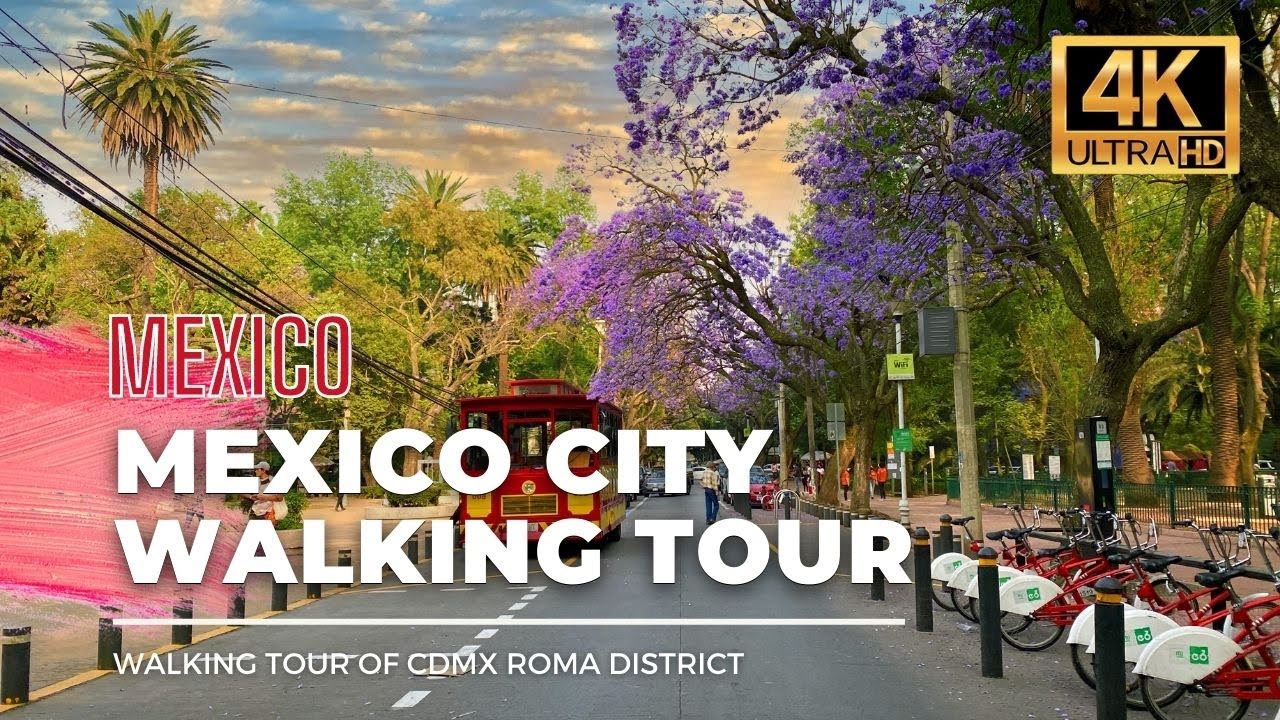
Leaving the archaeological site, you’ll wind your way through the narrow streets of Centro Histórico, where colonial architecture meets the everyday life of the city. As you stroll down Correo Mayor, the energy shifts; the air becomes more fragrant with street food, and the sounds of honking cars blend with street musicians strumming their guitars. You'll pass through the lively Plaza de la Constitución, where the grand Metropolitan Cathedral rises majestically. The atmosphere is dense with history, and soon you’ll find yourself on Paseo de la Reforma, where the wide avenue opens up, and the pace quickens.

Watch your step on the cobblestones as you navigate through the streets; some can be uneven and tricky. Traffic can be intense, especially as you near Reforma, so keep an eye out for cars and buses darting by. Be mindful of your belongings, as pickpockets are known to lurk in crowded areas. If you're planning to stop for a bite, some shops may close earlier than you'd expect, so check opening hours in advance.

Wear comfortable shoes, as you'll be walking nearly 4.3 kilometers. Bring a bottle of water to stay hydrated, especially if you’re walking under the afternoon sun. If it’s the rainy season, a light jacket or umbrella could come in handy. Starting in the late morning or early afternoon is ideal, as you’ll catch both the bustling life of the city and the warmth of the sun.

The best moment of this walk happens just as you approach the Angel of Independence. The monument stands tall against the backdrop of a pink-hued sunset, casting a golden glow on the surrounding trees. The sound of laughter and chatter fills the air as people gather around, and the aroma of freshly grilled corn wafts by, making you feel like you've truly arrived.

Turn-by-turn directions

19 steps · pace ~4.5 km/h
  1. Set off
    56 m
    45 s
  2. Continue as the road bends
    196 m
    3 min
    0.25 / 4.28 km · 6%
  3. Hang a right onto Calle Tacuba
    Long stretch ahead - photo break, phone check, or just look around.
    546 m
    7 min
    0.80 / 4.28 km · 19%
  4. Take a right onto Xicoténcatl
    4 m
    3 s
    0.80 / 4.28 km · 19%
  5. Take a left onto Plaza Manuel Tolsá
    99 m
    1 min
    0.90 / 4.28 km · 21%
  6. Turn right onto Calle Marconi
    5 m
    4 s
    0.91 / 4.28 km · 21%
  7. Take a left
    59 m
    47 s
    0.96 / 4.28 km · 23%
  8. 💧First quarter done. If it's hot, a sip of water now beats a gulp later.
  9. Turn left at the end of the road
    Long stretch ahead - photo break, phone check, or just look around.
    743 m
    10 min
    1.71 / 4.28 km · 40%
  10. Take a left
    53 m
    43 s
    1.76 / 4.28 km · 41%
  11. Hang a right onto Avenida Paseo de la Reforma Norte
    269 m
    4 min
    2.03 / 4.28 km · 47%
  12. Carry straight onto Avenida de la República
    46 m
    37 s
    2.08 / 4.28 km · 48%
  13. 🏁Halfway. Good moment to refill water or grab a quick coffee if you see one.
  14. Hang a right
    Long stretch ahead - photo break, phone check, or just look around.
    458 m
    6 min
    2.53 / 4.28 km · 59%
  15. Hang a right
    Long stretch ahead - photo break, phone check, or just look around.
    560 m
    7 min
    3.09 / 4.28 km · 72%
  16. Keep slight left at the fork
    57 m
    46 s
    3.15 / 4.28 km · 74%
  17. 🪜Three quarters. Legs may start protesting - the next bench is fair game.
  18. Keep slight left at the fork
    Long stretch ahead - photo break, phone check, or just look around.
    684 m
    9 min
    3.83 / 4.28 km · 90%
  19. 📍Almost there. Look up - you should be able to spot the destination soon.
  20. Turn slight right
    Use this stretch to catch your breath if the next turn looks busy.
    359 m
    5 min
    4.19 / 4.28 km · 98%
  21. Hang a right
    54 m
    43 s
    4.25 / 4.28 km · 99%
  22. Turn right at the end of the road
    Final stretch. Slow down so you don't walk past the entrance.
    37 m
    29 s
    4.29 / 4.28 km · 100%
  23. 🏁
    Arrive at destination

Local-script names show how they're signposted. The ≈ line shows a rough Latin transliteration to help with pronunciation. Times assume a steady ~5 km/h walk; add 15-20% in summer heat, on hills, or in crowds.

Open in the planner Customise this route or add more stops →
See Mexico City street previews

Watch Mexico City streets before you walk

Ambient first-person walking videos of Mexico City. Same streets, real sound. Pick a season or time-of-day to preview the route.

Watch Mexico City during the day
day · during the day
Watch Mexico City during the day
Watch Mexico City at night
night · at night
Watch Mexico City at night
Watch Mexico City in spring
spring · in spring
Watch Mexico City in spring

Other walking routes in Mexico City

Share this route

WhatsAppTelegramFacebookXRedditLinkedInEmail

Frequently asked questions

How long does it take to walk from Templo Mayor to Angel of Independence?

About 57 minutes at a steady 4.5 km/h walking pace. Add 15-20% in summer heat, on hills, or if you stop for photos.

How far is Templo Mayor from Angel of Independence on foot?

The walking route is 4.28 km following pedestrian paths. The straight-line distance is shorter but ignores buildings and one-way streets.

Is this walk suitable for casual walkers?

This 4.28 km route is an longer walk - bring water and pace yourself. The pedestrian path uses footpaths and side streets where possible, so it's safer than walking along main roads.

What streets does the route pass through?

The route in Mexico City passes through Calle Tacuba, Xicoténcatl, Plaza Manuel Tolsá, Calle Marconi and others. Street names are signposted in the local language.

What's the best time of day to walk this route?

For the best atmosphere on this stretch of Mexico City, the day walking video gives the most accurate preview of light and crowds. In general, early morning or sunset minimises midday heat and gives softer light for photos.

Is the walking route free?

Yes - planning, viewing the route, and using our directions are all free. Watch out for paid entry to any specific landmark on the route (museums, archaeological sites) - those are separate from the walk itself.

Can I reverse the route and walk from Angel of Independence back to Templo Mayor?

Yes - the same path works in reverse with the same distance and walking time. Some one-way streets only affect drivers, not pedestrians.

Walking pace assumed at about 5 km/h on level ground - hills, crowds, and stops will slow you down.

Walking-route geometry from OpenStreetMap contributors via FOSSGIS OSRM (data licensed under ODbL). Landmark data from Wikidata (CC0).