Walking from National Museum in Wrocław to Sky Tower

in Wroclaw, Poland

3.35 km
42 minutes walking
AB
National Museum in Wrocław
ANational Museum in WrocławWikidata ↗
Sky Tower
BSky TowerWikidata ↗

Standing in front of the National Museum in Wrocław, you can feel the energy of the city swirl around you. The grand building looms large, its stone facade cool to the touch. You hear the soft rustle of leaves from the nearby trees and the distant chatter of people enjoying the park. A hint of fresh coffee wafts from a café just around the corner, blending with the earthy scent of the nearby Odra River. It’s a great moment to set off on your walk.

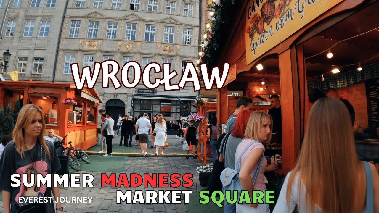
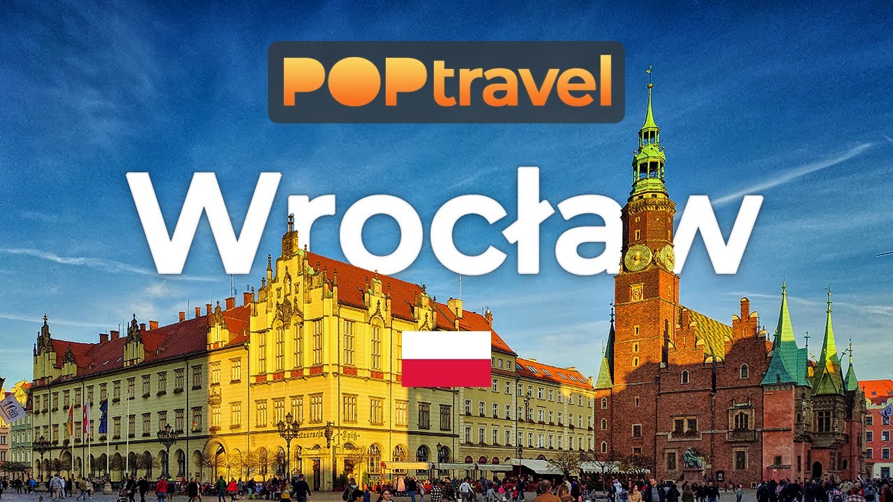
As you head out, you’ll wander along Wyspa Słodowa, where the river glistens under the sun. The path meanders gently, and you’ll notice the sounds shift from the quiet of the park to the hum of the city. Continuing onto Świdnicka Street, the atmosphere grows busier with shops and cafés lining the way. The cobblestones beneath your feet become rougher as you approach the Market Square, alive with the chatter of locals and tourists alike. The air here is filled with the aroma of baked goods from nearby bakeries, inviting you to linger just a bit longer.

Watch your step as you navigate the uneven cobbles, especially near the Market Square where tourists often gather. Traffic can get heavy as you reach the main roads, so keep an eye out for cars and cyclists. Some street vendors might offer tempting souvenirs, but be wary of scams - always double-check prices. Language barriers can arise, but most locals are friendly and helpful if you need directions.

Wear comfortable shoes, as you’ll be walking on varied terrain, from park paths to busy streets. Bring a water bottle to stay hydrated, especially on warm days, and consider a light jacket if you're out in the evening. If you’re visiting in autumn or winter, layer up, because the chill can creep in as the sun sets.

The best moment of this walk comes as you approach the Sky Tower just before sunset. The building’s glass facade reflects the golden hues of the sky, creating a beautiful contrast against the fading light. You’ll feel a sense of accomplishment as you take in the view, the vibrant colors blending seamlessly with the cityscape, leaving you with a sense of peace and a reminder of the journey you’ve just experienced.

Turn-by-turn directions

33 steps · pace ~4.8 km/h
  1. Set off along bulwar Xawerego Dunikowskiego
    96 m
    17 s
  2. Hang a left onto Promenada Staromiejska
    41 m
    22 s
    0.14 / 3.35 km · 4%
  3. Take a left
    91 m
    16 s
    0.23 / 3.35 km · 7%
  4. Turn right at the end of the road
    184 m
    2 min
    0.41 / 3.35 km · 12%
  5. Turn right at the end of the road
    47 m
    37 s
    0.46 / 3.35 km · 14%
  6. Hang a right
    38 m
    31 s
    0.50 / 3.35 km · 15%
  7. Turn left at the end of the road
    44 m
    35 s
    0.54 / 3.35 km · 16%
  8. Turn right onto Świętego Jana at the end of the road
    11 m
    9 s
    0.55 / 3.35 km · 17%
  9. Take a left
    121 m
    2 min
    0.67 / 3.35 km · 20%
  10. Turn left onto aleja Juliusza Słowackiego
    14 m
    11 s
    0.69 / 3.35 km · 21%
  11. Hang a right
    27 m
    22 s
    0.71 / 3.35 km · 21%
  12. Take a left
    42 m
    34 s
    0.76 / 3.35 km · 23%
  13. 💧First quarter done. If it's hot, a sip of water now beats a gulp later.
  14. Hang a right
    133 m
    2 min
    0.89 / 3.35 km · 27%
  15. Keep slight right onto Przejście Winogronowe at the fork
    92 m
    1 min
    0.98 / 3.35 km · 29%
  16. Hang a right
    87 m
    1 min
    1.07 / 3.35 km · 32%
  17. Take a left
    92 m
    1 min
    1.16 / 3.35 km · 35%
  18. Turn right at the end of the road
    220 m
    3 min
    1.38 / 3.35 km · 41%
  19. Take a left
    26 m
    21 s
    1.41 / 3.35 km · 42%
  20. Hang a right
    63 m
    50 s
    1.47 / 3.35 km · 44%
  21. Take a left onto Świdnicka
    163 m
    2 min
    1.63 / 3.35 km · 49%
  22. 🏁Halfway. Good moment to refill water or grab a quick coffee if you see one.
  23. Hang a slight left
    347 m
    5 min
    1.98 / 3.35 km · 59%
  24. Hang a right
    28 m
    22 s
    2.01 / 3.35 km · 60%
  25. Turn right at the end of the road
    166 m
    2 min
    2.17 / 3.35 km · 65%
  26. Hang a right
    170 m
    2 min
    2.34 / 3.35 km · 70%
  27. Hang a right
    121 m
    2 min
    2.46 / 3.35 km · 74%
  28. 🪜Three quarters. Legs may start protesting - the next bench is fair game.
  29. Hang a left onto Powstańców Śląskich
    129 m
    2 min
    2.59 / 3.35 km · 78%
  30. 📍Almost there. Look up - you should be able to spot the destination soon.
  31. Hang a right
    Long stretch ahead - photo break, phone check, or just look around.
    427 m
    6 min
    3.02 / 3.35 km · 90%
  32. Keep slight right at the fork
    101 m
    1 min
    3.12 / 3.35 km · 93%
  33. Hang a right
    36 m
    29 s
    3.16 / 3.35 km · 94%
  34. Hang a right
    57 m
    45 s
    3.21 / 3.35 km · 96%
  35. Hang a slight left
    61 m
    49 s
    3.27 / 3.35 km · 98%
  36. Take a left
    Final stretch. Slow down so you don't walk past the entrance.
    70 m
    57 s
    3.35 / 3.35 km · 100%
  37. 🏁
    Arrive at destination

Local-script names show how they're signposted. The ≈ line shows a rough Latin transliteration to help with pronunciation. Times assume a steady ~5 km/h walk; add 15-20% in summer heat, on hills, or in crowds.

Open in the planner Customise this route or add more stops →
See Wroclaw street previews

Watch Wroclaw streets before you walk

Ambient first-person walking videos of Wroclaw. Same streets, real sound. Pick a season or time-of-day to preview the route.

Watch Wroclaw at night
night · at night
Watch Wroclaw at night
Watch Wroclaw in summer
summer · in summer
Watch Wroclaw in summer
Watch Wroclaw in autumn
autumn · in autumn
Watch Wroclaw in autumn

Other walking routes in Wroclaw

Share this route

WhatsAppTelegramFacebookXRedditLinkedInEmail

Frequently asked questions

How long does it take to walk from National Museum in Wrocław to Sky Tower?

About 42 minutes at a steady 4.8 km/h walking pace. Add 15-20% in summer heat, on hills, or if you stop for photos.

How far is National Museum in Wrocław from Sky Tower on foot?

The walking route is 3.35 km following pedestrian paths. The straight-line distance is shorter but ignores buildings and one-way streets.

Is this walk suitable for casual walkers?

This 3.35 km route is an moderate walk - manageable for most people in normal shoes. The pedestrian path uses footpaths and side streets where possible, so it's safer than walking along main roads.

What streets does the route pass through?

The route in Wroclaw passes through bulwar Xawerego Dunikowskiego, Promenada Staromiejska, Świętego Jana, aleja Juliusza Słowackiego and others. Street names are signposted in the local language.

What's the best time of day to walk this route?

For the best atmosphere on this stretch of Wroclaw, the night walking video gives the most accurate preview of light and crowds. In general, early morning or sunset minimises midday heat and gives softer light for photos.

Is the walking route free?

Yes - planning, viewing the route, and using our directions are all free. Watch out for paid entry to any specific landmark on the route (museums, archaeological sites) - those are separate from the walk itself.

Can I reverse the route and walk from Sky Tower back to National Museum in Wrocław?

Yes - the same path works in reverse with the same distance and walking time. Some one-way streets only affect drivers, not pedestrians.

Walking pace assumed at about 5 km/h on level ground - hills, crowds, and stops will slow you down.

Walking-route geometry from OpenStreetMap contributors via FOSSGIS OSRM (data licensed under ODbL). Landmark data from Wikidata (CC0).