Walking from Louisenberg Castle to St Albin's shared Church

in Reichenau Island, Germany

2.81 km
37 minutes walking
AB
Louisenberg Castle
ALouisenberg CastleWikidata ↗
St Albin's shared Church
BSt Albin's shared ChurchWikidata ↗

Standing at Louisenberg Castle, you’re greeted by the fresh scent of pine trees mingling with the earthy aroma of damp soil. The castle's stone walls echo the whisper of the wind, and you can hear birds chirping in the nearby trees. As you look out over the landscape, the gentle lapping of Lake Constance creates a soothing rhythm, inviting you to begin your walk.

Leaving the castle grounds, you follow a winding path that leads you down to the lakeshore. The terrain shifts from the elevated castle’s rocky base to flat, well-trodden paths lined with wildflowers. As you stroll along the water, the sounds change too; the calls of waterfowl replace the rustling leaves, and the air is filled with the scent of fresh lake water. Continuing along the scenic route, you pass through the quaint village of Reichenau, where you can see small houses with flower boxes and hear the soft chatter of locals enjoying their day.

Keep an eye out for uneven cobblestones as you navigate through the village streets; they can be tricky underfoot. Be mindful of cyclists who often share the paths, especially near the lakeshore. If you're visiting during the summer, some shops may close early or have limited hours, so plan your stops accordingly. Don't forget to watch your belongings; while it's generally safe, pickpockets can be a concern in busier areas.

For this walk, wear sturdy shoes to handle the cobbled streets and lakeside paths. Bring a bottle of water to stay hydrated, especially if you're walking during the warmer months. Depending on the time of year, a light jacket can be useful for the cooler breezes off the lake in the evening. Early morning or late afternoon walks are ideal for avoiding the midday sun and enjoying the soft light.

The best moment of this walk occurs as you approach St Albin's Church during golden hour. The sun dips low in the sky, casting a warm glow over the landscape. As you step into the churchyard, the light filters through the trees, creating a mosaic of shadows and warmth on the ground. The fragrance of blooming flowers in the garden mingles with the cool breeze, making it a peaceful end to your journey.
Turn-by-turn directions

14 steps · pace ~4.5 km/h
  1. Set off
    24 m
    19 s
  2. Take a sharp left onto Louisenbergstrasse
    Tight corner - watch for cyclists cutting it close.
    155 m
    2 min
    0.18 / 2.81 km · 6%
  3. Hang a right
    105 m
    1 min
    0.28 / 2.81 km · 10%
  4. Road becomes Knebelstrasse
    165 m
    2 min
    0.45 / 2.81 km · 16%
  5. Turn right onto Arenenbergstrasse at the end of the road
    42 m
    33 s
    0.49 / 2.81 km · 17%
  6. 💧First quarter done. If it's hot, a sip of water now beats a gulp later.
  7. Hang a right
    Long stretch ahead - photo break, phone check, or just look around.
    724 m
    10 min
    1.22 / 2.81 km · 43%
  8. 🏁Halfway. Good moment to refill water or grab a quick coffee if you see one.
  9. Hang a left onto Arenenberg
    Long stretch ahead - photo break, phone check, or just look around.
    568 m
    8 min
    1.78 / 2.81 km · 64%
  10. Turn left onto Lankenbergstrasse
    12 m
    10 s
    1.79 / 2.81 km · 64%
  11. Hang a right
    45 m
    36 s
    1.84 / 2.81 km · 66%
  12. Hang a right
    145 m
    2 min
    1.99 / 2.81 km · 71%
  13. 🪜Three quarters. Legs may start protesting - the next bench is fair game.
  14. Road becomes Arenenbergstrasse
    Use this stretch to catch your breath if the next turn looks busy.
    360 m
    5 min
    2.35 / 2.81 km · 84%
  15. 📍Almost there. Look up - you should be able to spot the destination soon.
  16. Turn right at the end of the road
    Long stretch ahead - photo break, phone check, or just look around.
    407 m
    5 min
    2.75 / 2.81 km · 98%
  17. Hang a left onto Kirchgasse
    Final stretch. Slow down so you don't walk past the entrance.
    56 m
    45 s
    2.81 / 2.81 km · 100%
  18. 🏁
    Arrive at destination

Local-script names show how they're signposted. The ≈ line shows a rough Latin transliteration to help with pronunciation. Times assume a steady ~5 km/h walk; add 15-20% in summer heat, on hills, or in crowds.

Open in the planner Customise this route or add more stops →
See Reichenau Island street previews
See Reichenau Island from the waterRent a boat by the hour or day on SamBoat

Watch Reichenau Island streets before you walk

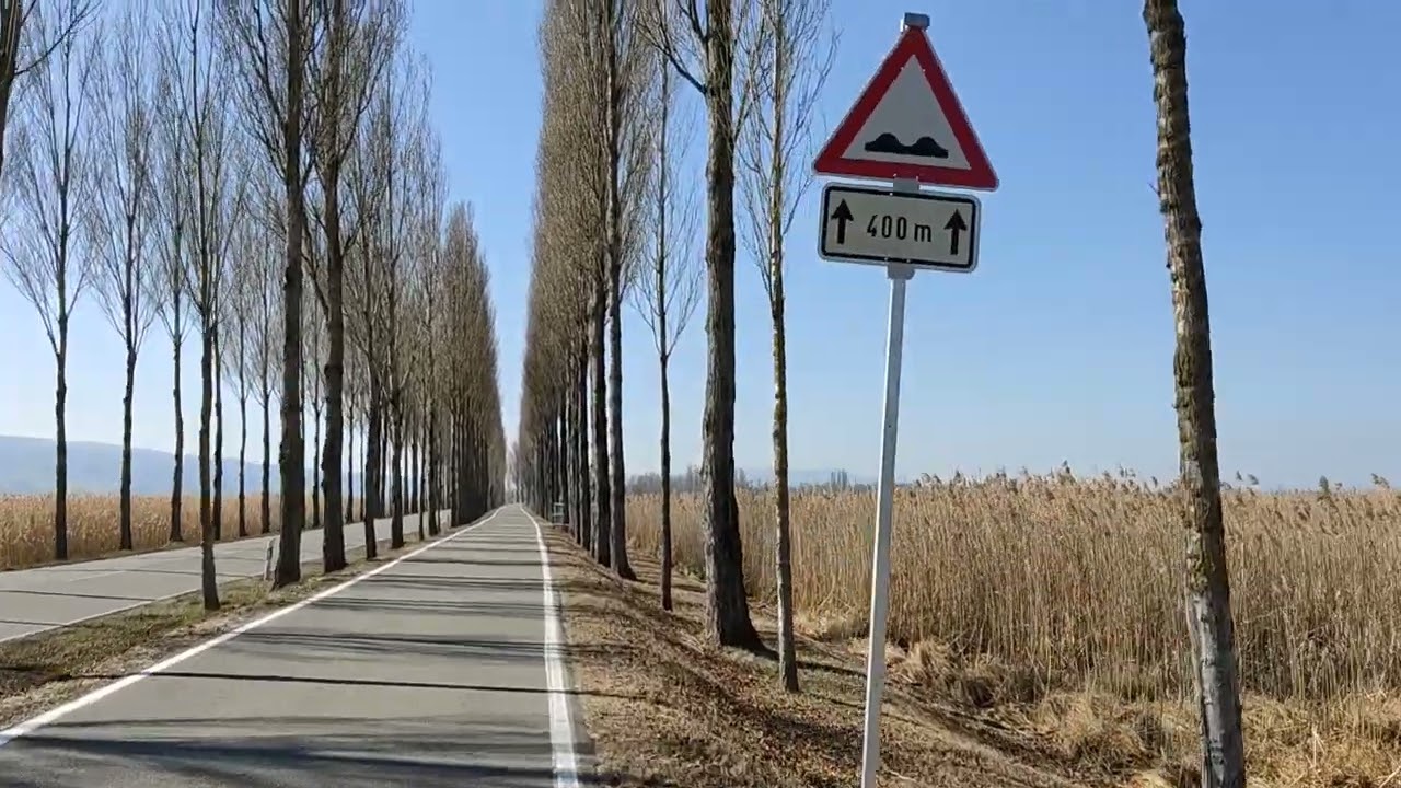
Ambient first-person walking videos of Reichenau Island. Same streets, real sound. Pick a season or time-of-day to preview the route.

Watch Reichenau Island during the day
day · during the day
Watch Reichenau Island during the day
📏Just need the walking distance? See the distance page

Other walking routes in Reichenau Island

Share this route

WhatsAppTelegramFacebookXRedditLinkedInEmail

Frequently asked questions

How long does it take to walk from Louisenberg Castle to St Albin's shared Church?

About 37 minutes at a steady 4.5 km/h walking pace. Add 15-20% in summer heat, on hills, or if you stop for photos.

How far is Louisenberg Castle from St Albin's shared Church on foot?

The walking route is 2.81 km following pedestrian paths. The straight-line distance is shorter but ignores buildings and one-way streets.

Is this walk suitable for casual walkers?

This 2.81 km route is an moderate walk - manageable for most people in normal shoes. The pedestrian path uses footpaths and side streets where possible, so it's safer than walking along main roads.

What streets does the route pass through?

The route in Reichenau Island passes through Louisenbergstrasse, Knebelstrasse, Arenenbergstrasse, Arenenberg and others. Street names are signposted in the local language.

What's the best time of day to walk this route?

For the best atmosphere on this stretch of Reichenau Island, the day walking video gives the most accurate preview of light and crowds. In general, early morning or sunset minimises midday heat and gives softer light for photos.

Is the walking route free?

Yes - planning, viewing the route, and using our directions are all free. Watch out for paid entry to any specific landmark on the route (museums, archaeological sites) - those are separate from the walk itself.

Can I reverse the route and walk from St Albin's shared Church back to Louisenberg Castle?

Yes - the same path works in reverse with the same distance and walking time. Some one-way streets only affect drivers, not pedestrians.

Walking pace assumed at about 5 km/h on level ground - hills, crowds, and stops will slow you down.

Walking-route geometry from OpenStreetMap contributors via FOSSGIS OSRM (data licensed under ODbL). Landmark data from Wikidata (CC0).

·
Louisenberg CastleSt Albin's shared Church