Walking from Bordeaux Cathedral to Pont de pierre

in port of the Moon, France

1.43 km
19 minutes walking
AB
Bordeaux Cathedral
ABordeaux CathedralWikidata ↗
Pont de pierre
BPont de pierreWikidata ↗

Standing in front of Bordeaux Cathedral, you’re surrounded by the majestic gothic architecture that towers above you. The air is cool and crisp, filled with the faint scent of freshly baked pastries from a nearby café. You can hear the soft murmur of conversations and the distant sound of footsteps echoing off the stone walls. With the morning light filtering through the trees lining the square, it feels like the perfect start to your walk.

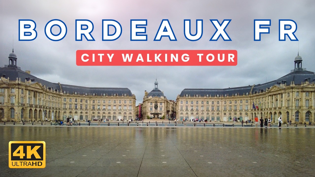
As you set off down Rue Sainte-Catherine, the city's main pedestrian thoroughfare, the atmosphere shifts. The street is lined with shops, and the sound of laughter and chatter grows more pronounced. You'll notice the elevation dips slightly as you approach Place de la Bourse, where the reflective water mirror captures the sky’s hues. Continuing onto Quai de la Monnaie, the scent of the Garonne River fills the air, mingled with the aroma of street food from nearby vendors. The traffic noise fades, replaced by the gentle lapping of water against the riverbank.

Watch your step as you navigate the cobblestone streets, which can be uneven and slippery when wet. Be mindful of cyclists zipping past on shared paths, and keep an eye on your belongings, especially in busier areas where pickpockets might lurk. As you near the river, the light changes, and you might encounter some areas that are under construction, so stay alert for detours.

Make sure to wear comfortable shoes, as the cobbled terrain can be tricky. Bring a water bottle to stay hydrated, especially if it’s a warm day. Depending on the season, you might want a light jacket in the cooler months, or sunscreen during the summer. An early morning walk is ideal to avoid crowds and enjoy the peacefulness of the city waking up.

The best moment of this walk comes as you stand on the Pont de Pierre at sunset. The golden light reflects off the river, creating a warm glow that dances on the water's surface. As you take in the view, the sound of the river flowing beneath you blends with the soft rustle of leaves in the evening breeze, leaving you with a sense of calm and connection to the city.

Turn-by-turn directions

12 steps · pace ~4.5 km/h
  1. Set off
    20 m
    16 s
  2. Turn left onto Hôtel de Ville
    114 m
    2 min
    0.13 / 1.43 km · 9%
  3. Turn left onto Place Pey Berland at the end of the road
    25 m
    20 s
    0.16 / 1.43 km · 11%
  4. 💧First quarter done. If it's hot, a sip of water now beats a gulp later.
  5. Take a right onto Rue du Loup
    Long stretch ahead - photo break, phone check, or just look around.
    442 m
    6 min
    0.60 / 1.43 km · 42%
  6. Road becomes Rue du Palais de l'Ombrière
    108 m
    1 min
    0.71 / 1.43 km · 50%
  7. 🏁Halfway. Good moment to refill water or grab a quick coffee if you see one.
  8. Carry straight onto Place du Palais
    132 m
    2 min
    0.84 / 1.43 km · 59%
  9. Take a left
    40 m
    32 s
    0.88 / 1.43 km · 62%
  10. Hang a right
    72 m
    57 s
    0.95 / 1.43 km · 67%
  11. Turn slight left onto Promenade Martin Luther King Jr
    13 m
    11 s
    0.97 / 1.43 km · 68%
  12. 🪜Three quarters. Legs may start protesting - the next bench is fair game.
  13. Keep slight right at the fork
    209 m
    3 min
    1.18 / 1.43 km · 82%
  14. 📍Almost there. Look up - you should be able to spot the destination soon.
  15. Turn left onto Pont de Pierre
    Use this stretch to catch your breath if the next turn looks busy.
    253 m
    3 min
    1.43 / 1.43 km · 100%
  16. 🏁
    Arrive at destination

Local-script names show how they're signposted. The ≈ line shows a rough Latin transliteration to help with pronunciation. Times assume a steady ~5 km/h walk; add 15-20% in summer heat, on hills, or in crowds.

Open in the planner Customise this route or add more stops →
See port of the Moon street previews

Watch port of the Moon streets before you walk

Ambient first-person walking videos of port of the Moon. Same streets, real sound. Pick a season or time-of-day to preview the route.

Watch port of the Moon during the day
day · during the day
Watch port of the Moon during the day

Other walking routes in port of the Moon

Share this route

WhatsAppTelegramFacebookXRedditLinkedInEmail

Frequently asked questions

How long does it take to walk from Bordeaux Cathedral to Pont de pierre?

About 19 minutes at a steady 4.5 km/h walking pace. Add 15-20% in summer heat, on hills, or if you stop for photos.

How far is Bordeaux Cathedral from Pont de pierre on foot?

The walking route is 1.43 km following pedestrian paths. The straight-line distance is shorter but ignores buildings and one-way streets.

Is this walk suitable for casual walkers?

This 1.43 km route is an easy stroll suitable for most fitness levels. The pedestrian path uses footpaths and side streets where possible, so it's safer than walking along main roads.

What streets does the route pass through?

The route in port of the Moon passes through Hôtel de Ville, Place Pey Berland, Rue du Loup, Rue du Palais de l'Ombrière and others. Street names are signposted in the local language.

What's the best time of day to walk this route?

For the best atmosphere on this stretch of port of the Moon, the day walking video gives the most accurate preview of light and crowds. In general, early morning or sunset minimises midday heat and gives softer light for photos.

Is the walking route free?

Yes - planning, viewing the route, and using our directions are all free. Watch out for paid entry to any specific landmark on the route (museums, archaeological sites) - those are separate from the walk itself.

Can I reverse the route and walk from Pont de pierre back to Bordeaux Cathedral?

Yes - the same path works in reverse with the same distance and walking time. Some one-way streets only affect drivers, not pedestrians.

Walking pace assumed at about 5 km/h on level ground - hills, crowds, and stops will slow you down.

Walking-route geometry from OpenStreetMap contributors via FOSSGIS OSRM (data licensed under ODbL). Landmark data from Wikidata (CC0).