Walking from Thyssen-Bornemisza Museum to El Retiro Park

in Madrid, Spain

1.15 km
15 minutes walking
AB
Thyssen-Bornemisza Museum
AThyssen-Bornemisza MuseumWikidata ↗
El Retiro Park
BEl Retiro ParkWikidata ↗

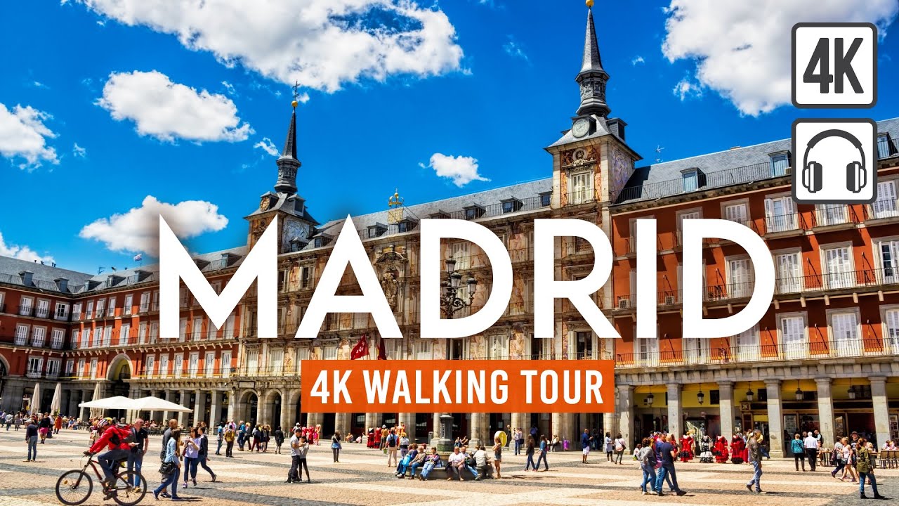
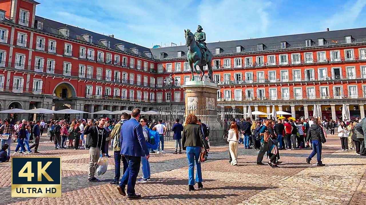
Standing in front of the Thyssen-Bornemisza Museum, you can feel the pulse of Madrid. The air is filled with the aroma of fresh coffee from nearby cafés, and the chatter of locals and tourists fills the space around you. The museum’s grand façade looms above, while the neatly trimmed hedges of the surrounding gardens sway gently in the breeze. As you take a deep breath, the promise of art and nature awaits just a short walk away.

As you step onto Paseo del Prado, the rhythm of the city shifts. The wide avenue is lined with majestic trees, casting dappled shadows on the pavement. The sounds of traffic and distant street performers create a lively soundtrack. After a few moments, you’ll turn onto Calle de Alfonso XII, where the atmosphere becomes more relaxed, with quaint shops and small eateries lining the street. The path gradually rises as you approach the entrance to El Retiro Park, the air becoming fresher as you near the greenery.

Keep an eye out for the uneven cobblestones along Calle de Alfonso XII; they can be tricky underfoot, especially if you're not wearing sturdy shoes. Be cautious of cyclists zipping by, as they often share the path with pedestrians. If it’s a weekend, you might encounter more crowds, especially near the park's entrance. Also, remember that some cafés have odd opening hours, so check ahead if you're planning to grab a bite on the way.

For this walk, comfortable footwear is a must, as the cobbled streets might challenge your balance. Bring a water bottle to stay hydrated, especially if you're walking during the warmer months. A light jacket could come in handy in the evening, while sunscreen is essential if you’re walking during the day. The walk is best enjoyed in the late afternoon when the sun begins to soften.

The best moment comes as you enter El Retiro Park, just as the sun begins to set. The golden light filters through the trees, casting a warm glow on the serene lake ahead. You can hear the gentle lapping of water against the shore and the faint laughter of families enjoying the evening. It’s a perfect scene that invites you to pause and soak it all in, a peaceful end to your journey.

Turn-by-turn directions

15 steps · pace ~4.5 km/h
  1. Set off
    33 m
    26 s
  2. Take a left
    73 m
    59 s
    0.11 / 1.15 km · 9%
  3. Hang a right
    62 m
    50 s
    0.17 / 1.15 km · 15%
  4. Turn right at the end of the road
    94 m
    1 min
    0.26 / 1.15 km · 23%
  5. 💧First quarter done. If it's hot, a sip of water now beats a gulp later.
  6. Take a left onto Calle de Felipe IV
    209 m
    3 min
    0.47 / 1.15 km · 41%
  7. 🏁Halfway. Good moment to refill water or grab a quick coffee if you see one.
  8. Keep slight right onto Calle de Felipe IV at the fork
    154 m
    2 min
    0.63 / 1.15 km · 54%
  9. Hang a right
    37 m
    30 s
    0.66 / 1.15 km · 57%
  10. Hang a right
    37 m
    29 s
    0.70 / 1.15 km · 61%
  11. Hang a slight left
    78 m
    1 min
    0.78 / 1.15 km · 67%
  12. Hang a right
    73 m
    58 s
    0.85 / 1.15 km · 74%
  13. 🪜Three quarters. Legs may start protesting - the next bench is fair game.
  14. Take a left
    102 m
    1 min
    0.95 / 1.15 km · 82%
  15. 📍Almost there. Look up - you should be able to spot the destination soon.
  16. Road becomes Paseo de Paraguay
    137 m
    2 min
    1.09 / 1.15 km · 94%
  17. Turn right onto Plaza de Honduras at the end of the road
    30 m
    24 s
    1.12 / 1.15 km · 97%
  18. Take a right onto Paseo República de Cuba
    Final stretch. Slow down so you don't walk past the entrance.
    36 m
    28 s
    1.16 / 1.15 km · 100%
  19. 🏁
    Arrive at destination

Local-script names show how they're signposted. The ≈ line shows a rough Latin transliteration to help with pronunciation. Times assume a steady ~5 km/h walk; add 15-20% in summer heat, on hills, or in crowds.

Open in the planner Customise this route or add more stops →
See Madrid street previews

Watch Madrid streets before you walk

Ambient first-person walking videos of Madrid. Same streets, real sound. Pick a season or time-of-day to preview the route.

Watch Madrid during the day
day · during the day
Watch Madrid during the day
Watch Madrid at night
night · at night
Watch Madrid at night
Watch Madrid in spring
spring · in spring
Watch Madrid in spring

Other walking routes in Madrid

Share this route

WhatsAppTelegramFacebookXRedditLinkedInEmail

Frequently asked questions

How long does it take to walk from Thyssen-Bornemisza Museum to El Retiro Park?

About 15 minutes at a steady 4.5 km/h walking pace. Add 15-20% in summer heat, on hills, or if you stop for photos.

How far is Thyssen-Bornemisza Museum from El Retiro Park on foot?

The walking route is 1.15 km following pedestrian paths. The straight-line distance is shorter but ignores buildings and one-way streets.

Is this walk suitable for casual walkers?

This 1.15 km route is an easy stroll suitable for most fitness levels. The pedestrian path uses footpaths and side streets where possible, so it's safer than walking along main roads.

What streets does the route pass through?

The route in Madrid passes through Calle de Felipe IV, Paseo de Paraguay, Plaza de Honduras, Paseo República de Cuba. Street names are signposted in the local language.

What's the best time of day to walk this route?

For the best atmosphere on this stretch of Madrid, the day walking video gives the most accurate preview of light and crowds. In general, early morning or sunset minimises midday heat and gives softer light for photos.

Is the walking route free?

Yes - planning, viewing the route, and using our directions are all free. Watch out for paid entry to any specific landmark on the route (museums, archaeological sites) - those are separate from the walk itself.

Can I reverse the route and walk from El Retiro Park back to Thyssen-Bornemisza Museum?

Yes - the same path works in reverse with the same distance and walking time. Some one-way streets only affect drivers, not pedestrians.

Walking pace assumed at about 5 km/h on level ground - hills, crowds, and stops will slow you down.

Walking-route geometry from OpenStreetMap contributors via FOSSGIS OSRM (data licensed under ODbL). Landmark data from Wikidata (CC0).