Walking from John Hancock Tower to Boston Common

in Boston, Massachusetts

1.26 km
17 minutes walking
AB
John Hancock Tower
AJohn Hancock TowerWikidata ↗
Boston Common
BBoston CommonWikidata ↗

Standing in front of the John Hancock Tower, you’re greeted by a sleek facade reflecting the sky, with that unmistakable glassy shimmer. The air buzzes with the soft hum of city life as you catch snippets of conversation and the distant sounds of traffic weaving through the streets. The aroma of freshly brewed coffee wafts from nearby cafés, mingling with the crisp breeze that hints at the changing seasons.

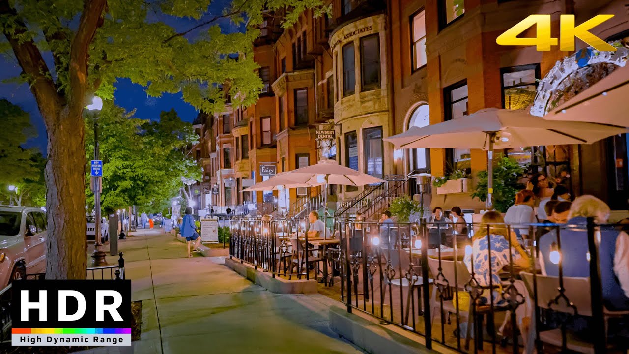
As you set off down Boylston Street, the terrain shifts from the polished stone of the tower to the lively chaos of shops and eateries. You'll pass through Copley Square, where the historic Trinity Church stands in stark contrast to the modern buildings around it. The energy here feels different - there’s a mix of tourists snapping photos and locals rushing about. Continuing on, you’ll traverse the wide expanse of Charles Street, feeling the ground slope gently as you approach Boston Common, where trees stretch their limbs toward the sky, signaling a shift to a more serene environment.

Keep your eyes peeled for the uneven cobblestones that can sneak up on you, especially as you navigate the crosswalks. Boston’s traffic can be unpredictable, so stay alert when crossing streets - cars often roll through even when the light’s in your favor. It’s also wise to watch for pickpockets in crowded areas, particularly around Copley Square. Many shops close early, so if you’re eyeing any souvenirs, plan accordingly.

A comfortable pair of shoes is essential for this walk, as you'll be covering a mix of smooth sidewalks and uneven surfaces. Bring a water bottle to stay hydrated, especially during summer, and be prepared for changing weather - an umbrella or sunscreen might come in handy depending on the forecast. Morning or late afternoon is ideal for this route, allowing you to enjoy the cool air and softer light.

The best moment of this walk happens as you reach Boston Common at sunset, when the golden light filters through the trees, casting long shadows on the grass. The air is filled with laughter from people enjoying the park, and the faint smell of popcorn from a nearby vendor adds to the atmosphere. It’s a perfect snapshot of city life blending seamlessly with nature.

Turn-by-turn directions

14 steps · pace ~4.5 km/h
  1. Set off
    34 m
    28 s
  2. Hang a right
    25 m
    20 s
    0.06 / 1.26 km · 5%
  3. Take a left
    43 m
    34 s
    0.10 / 1.26 km · 8%
  4. Hang a right
    29 m
    23 s
    0.13 / 1.26 km · 10%
  5. 💧First quarter done. If it's hot, a sip of water now beats a gulp later.
  6. Turn right at the end of the road
    Long stretch ahead - photo break, phone check, or just look around.
    509 m
    7 min
    0.64 / 1.26 km · 51%
  7. Take a left
    93 m
    1 min
    0.73 / 1.26 km · 58%
  8. Take a left
    46 m
    36 s
    0.78 / 1.26 km · 62%
  9. Carry straight onto Lagoon Path
    79 m
    1 min
    0.86 / 1.26 km · 68%
  10. Carry on along Lagoon Path
    53 m
    42 s
    0.91 / 1.26 km · 72%
  11. 🪜Three quarters. Legs may start protesting - the next bench is fair game.
  12. Hang a right onto Charles Path
    57 m
    46 s
    0.97 / 1.26 km · 77%
  13. Carry on along Charles Path
    21 m
    16 s
    0.99 / 1.26 km · 78%
  14. Take a right onto Haffenreffer Walk
    24 m
    19 s
    1.01 / 1.26 km · 80%
  15. 📍Almost there. Look up - you should be able to spot the destination soon.
  16. Road becomes Mayor's Walk
    Use this stretch to catch your breath if the next turn looks busy.
    250 m
    3 min
    1.26 / 1.26 km · 100%
  17. 🏁
    Arrive at destination

Local-script names show how they're signposted. The ≈ line shows a rough Latin transliteration to help with pronunciation. Times assume a steady ~5 km/h walk; add 15-20% in summer heat, on hills, or in crowds.

Open in the planner Customise this route or add more stops →
See Boston street previews

Watch Boston streets before you walk

Ambient first-person walking videos of Boston. Same streets, real sound. Pick a season or time-of-day to preview the route.

Watch Boston during the day
day · during the day
Watch Boston during the day
Watch Boston at night
night · at night
Watch Boston at night
Watch Boston in spring
spring · in spring
Watch Boston in spring

Other walking routes in Boston

Share this route

WhatsAppTelegramFacebookXRedditLinkedInEmail

Frequently asked questions

How long does it take to walk from John Hancock Tower to Boston Common?

About 17 minutes at a steady 4.5 km/h walking pace. Add 15-20% in summer heat, on hills, or if you stop for photos.

How far is John Hancock Tower from Boston Common on foot?

The walking route is 1.26 km following pedestrian paths. The straight-line distance is shorter but ignores buildings and one-way streets.

Is this walk suitable for casual walkers?

This 1.26 km route is an easy stroll suitable for most fitness levels. The pedestrian path uses footpaths and side streets where possible, so it's safer than walking along main roads.

What streets does the route pass through?

The route in Boston passes through Lagoon Path, Charles Path, Haffenreffer Walk, Mayor's Walk. Street names are signposted in the local language.

What's the best time of day to walk this route?

For the best atmosphere on this stretch of Boston, the day walking video gives the most accurate preview of light and crowds. In general, early morning or sunset minimises midday heat and gives softer light for photos.

Is the walking route free?

Yes - planning, viewing the route, and using our directions are all free. Watch out for paid entry to any specific landmark on the route (museums, archaeological sites) - those are separate from the walk itself.

Can I reverse the route and walk from Boston Common back to John Hancock Tower?

Yes - the same path works in reverse with the same distance and walking time. Some one-way streets only affect drivers, not pedestrians.

Walking pace assumed at about 5 km/h on level ground - hills, crowds, and stops will slow you down.

Walking-route geometry from OpenStreetMap contributors via FOSSGIS OSRM (data licensed under ODbL). Landmark data from Wikidata (CC0).