Walking from Cologne Central Mosque to Museum Ludwig
in Cologne Cathedral, Germany


Turn-by-turn directions
- ▶Set off40 m32 s
- ↰Take a left41 m29 s0.08 / 2.66 km · 3%
- 💧First quarter done. If it's hot, a sip of water now beats a gulp later.
- ↱Take a right onto Venloer StraßeLong stretch ahead - photo break, phone check, or just look around.801 m11 min0.88 / 2.66 km · 33%
- ↑Road becomes Friesenplatz162 m2 min1.04 / 2.66 km · 39%
- ↱Hang a right98 m1 min1.14 / 2.66 km · 43%
- 🏁Halfway. Good moment to refill water or grab a quick coffee if you see one.
- ↑Road becomes Friesenstraße345 m5 min1.49 / 2.66 km · 56%
- ↰Turn left onto Zeughausstraße at the end of the road137 m2 min1.62 / 2.66 km · 61%
- ↱Hang a right onto Auf dem Berlich28 m23 s1.65 / 2.66 km · 62%
- ↰Take a left onto Burgmauer162 m2 min1.81 / 2.66 km · 68%
- ↗Carry on along Burgmauer25 m20 s1.84 / 2.66 km · 69%
- ↰Turn left onto Appellhofplatz140 m2 min1.98 / 2.66 km · 74%
- 🪜Three quarters. Legs may start protesting - the next bench is fair game.
- ↰Take a left30 m24 s2.01 / 2.66 km · 76%
- ↱Hang a right63 m50 s2.07 / 2.66 km · 78%
- ↖Road becomes Burgmauer232 m3 min2.30 / 2.66 km · 87%
- ↱Turn right onto Domkloster at the end of the road48 m38 s2.35 / 2.66 km · 88%
- 📍Almost there. Look up - you should be able to spot the destination soon.
- ↰Carry on along Domkloster53 m43 s2.40 / 2.66 km · 90%
- ↑Road becomes Roncalliplatz142 m2 min2.55 / 2.66 km · 96%
- ↱Hang a rightFinal stretch. Slow down so you don't walk past the entrance.114 m2 min2.66 / 2.66 km · 100%
- 🏁Arrive at destination
Local-script names show how they're signposted. The ≈ line shows a rough Latin transliteration to help with pronunciation. Times assume a steady ~5 km/h walk; add 15-20% in summer heat, on hills, or in crowds.
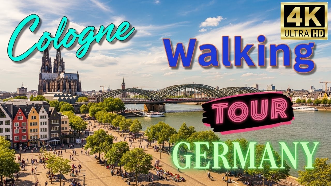
Watch Cologne Cathedral streets before you walk
Ambient first-person walking videos of Cologne Cathedral. Same streets, real sound. Pick a season or time-of-day to preview the route.
Other walking routes in Cologne Cathedral
- Cologne Cathedral → Hohenzollern Bridge0.6 km
- Cologne Cathedral → Wallraf–Richartz Museum0.6 km
- Hohenzollern Bridge → Wallraf–Richartz Museum1.0 km
- Cologne Cathedral → Cologne Central Mosque2.6 km
- Hohenzollern Bridge → Cologne Central Mosque3.0 km
- Wallraf–Richartz Museum → Cologne Central Mosque2.7 km
- Cologne Cathedral → Museum Ludwig0.2 km
- Hohenzollern Bridge → Museum Ludwig0.4 km
- Wallraf–Richartz Museum → Museum Ludwig0.6 km
Frequently asked questions
›How long does it take to walk from Cologne Central Mosque to Museum Ludwig?
About 36 minutes at a steady 4.4 km/h walking pace. Add 15-20% in summer heat, on hills, or if you stop for photos.
›How far is Cologne Central Mosque from Museum Ludwig on foot?
The walking route is 2.66 km following pedestrian paths. The straight-line distance is shorter but ignores buildings and one-way streets.
›Is this walk suitable for casual walkers?
This 2.66 km route is an moderate walk - manageable for most people in normal shoes. The pedestrian path uses footpaths and side streets where possible, so it's safer than walking along main roads.
›What streets does the route pass through?
The route in Cologne Cathedral passes through Venloer Straße, Friesenplatz, Friesenstraße, Zeughausstraße and others. Street names are signposted in the local language.
›What's the best time of day to walk this route?
For the best atmosphere on this stretch of Cologne Cathedral, the day walking video gives the most accurate preview of light and crowds. In general, early morning or sunset minimises midday heat and gives softer light for photos.
›Is the walking route free?
Yes - planning, viewing the route, and using our directions are all free. Watch out for paid entry to any specific landmark on the route (museums, archaeological sites) - those are separate from the walk itself.
›Can I reverse the route and walk from Museum Ludwig back to Cologne Central Mosque?
Yes - the same path works in reverse with the same distance and walking time. Some one-way streets only affect drivers, not pedestrians.
Walking pace assumed at about 5 km/h on level ground - hills, crowds, and stops will slow you down.
Walking-route geometry from OpenStreetMap contributors via FOSSGIS OSRM (data licensed under ODbL). Landmark data from Wikidata (CC0).
